Blundell Castle
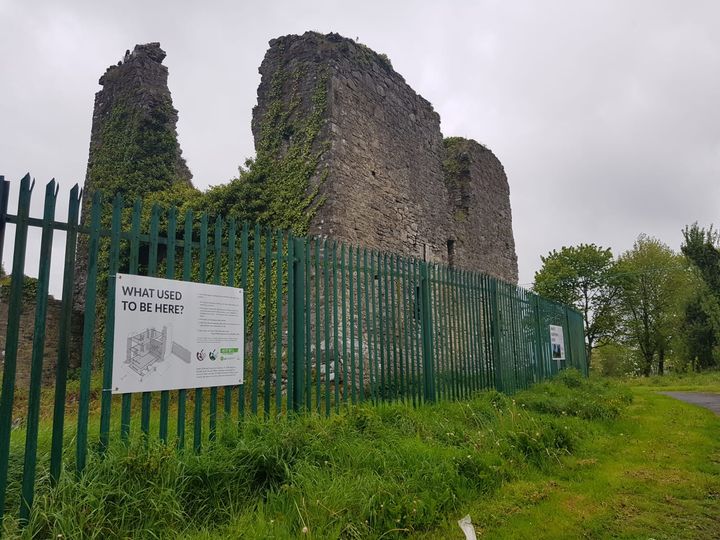
Blundell castle, overlooking the tower of Edenderry, is a fifteenth or sixteenth century tower-house, or a modified hall-house.
The Project
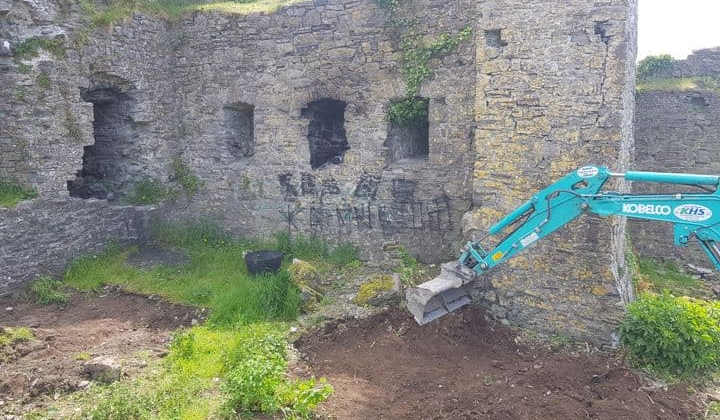
In November 2020, the IHS was commissioned by Offaly County Council to undertake a community programme of works focused on the site of Blundell Castle in Edenderry, Co. Offaly – a multi-period structure that was possibly first documented as early as 1416 (see a more detailed archaeological description below). The project received funding through the ‘Keep Well’ campaign, which was created as a result of the Covid-19 pandemic to help people keep active and outdoors, stay connected, remain creative, eat well, and mind their moods! The scheme, with advice from Creative Ireland, resulted in a range of initiatives to support individual and community creativity in the arts, crafting, culture and heritage.
Brief History of the Castle
The following history is taken from Appendix 2 (by Caimin O’ Brien) of Quinlan, M. 2020. Blundell Castle, Edenderry, Co. Offaly, Conservation Report (Updated Edition, including contributions from the original report by Caimin O’ Brien and Mike O’ Neill). Prepared for Offaly County Council, with support from the Community Monuments Fund.
According to the Annals of Connacht in 1416 ‘The castle of Edenderry was razed by [lord] Furnival [John Talbot, 2nd earl of Shrewsbury, lord lieutenant of Ireland] at the beginning of winter’. In 1427 the Annals of Ulster record that ‘The castle of Edan-daire in Offaly was broken down by Foreigners [Gallaibh – Anglo-Irish] this year.’ By the sixteenth century the castle had become the residence of the Colley [Cowley] family after whom the barony of Coolestown [Colleystown] received its name. Described in the 1550 Survey as ‘the castell of Eadendyrre’ (Curtis 1930, 325). Originally an O’Connor castle that was taken over by the Cowley family after Henry Cowley [Colley] was granted the land in 1562-3 (Anon 1907 vol. 37, 416). In 1562 the English government granted to Henry Cowleye ‘of Castlecowl[eye]; of the castle of Eddendirry alias Cowleystone, King’s co.’ (Nicholls 1994, vol. 2, 53).
On the Hill of Edenderry, now the churchyard, there was formerly a Silver mine, twice attempted to be worked, but not within these forty years (Coote 1801, 124). It is unclear where on the Hill or how close to the castle these silver mines were operated from and if so what earthworks they would have left behind or what shafts may have been excavated in the vicinity of the castle. Are the quarry holes shown on the first ed. OS map to the northwest of the castle part of this silver mining operation? Are they the remains of what Coote described as ‘In the mine of Edenderry has been found that stratum of yellow clay, the indication of lead mines; a sample of the ore is to be seen in the society’s Museum’ ?(Coote 1801, 125-6).
On the 1838 OS six inch map there are silver mines shown to the NE of the castle just off the main street of Edenderry. This silver mine is in a different location to the silver mines described by Coote.
In 1917, Harold Leask stated that the castle does not ‘appear to have been vaulted and contains no special feature of interest. The remains seem to be those of a XVIIth cy. House. Part of the bawn walls remains’ (JKAS VIII, 386). In the late 1970s the OHAS described the castle as consisting of ‘Walls standing on the South and east side apparently a spiral staircase on the East wall. Three floors in main section i.e. that where walls are standing. Base Batter, extensive foundations at front of castle. Foundations of walls standing, difficult as to what sort of building the foundations indicate. No definite shape.’ (OHAS files) Jim Reynolds in his site report of 1981 states that ‘Fragmentary remains to the West indicate that a range of buildings existed here’, these may be the remains of the late seventeenth house known as ‘Edenderry House’ that may have been added on to the southwest angle of the earlier castle. On the 1913 edition of the Ordnance Survey six-inch map the castle is depicted as a rectangular structure orientated north-south with a possible angle tower or building on the southwest angle of the castle. Reynolds noted in his 1981 report that the ‘ground surrounding the site to the North and West has recently been levelled and is now strewn with builders rubble’ (ASI archives). In 1991 David Sweetman describes a ‘later building tacked onto SW angle’ (ASI archives).
According to W. A. Maguire in his article ‘Missing persons: Edenderry under the Blundells and the Downshires, 1707-1922’ in Offaly History and Society ‘The damaged castle was not rebuilt, but a residence referred to in a letter of 1720 as Edenderry House was apparently erected.'(p. 517) The 25 inch Ordnance Survey Map of Edenderry clearly shows a wall return running west off the centre of the west wall of the castle, this may be a building or angle tower on the southwest angle of the castle. It could also be the remains of the seventeenth century house known as Edenderry House that may have been built onto the southwest angle of the castle.
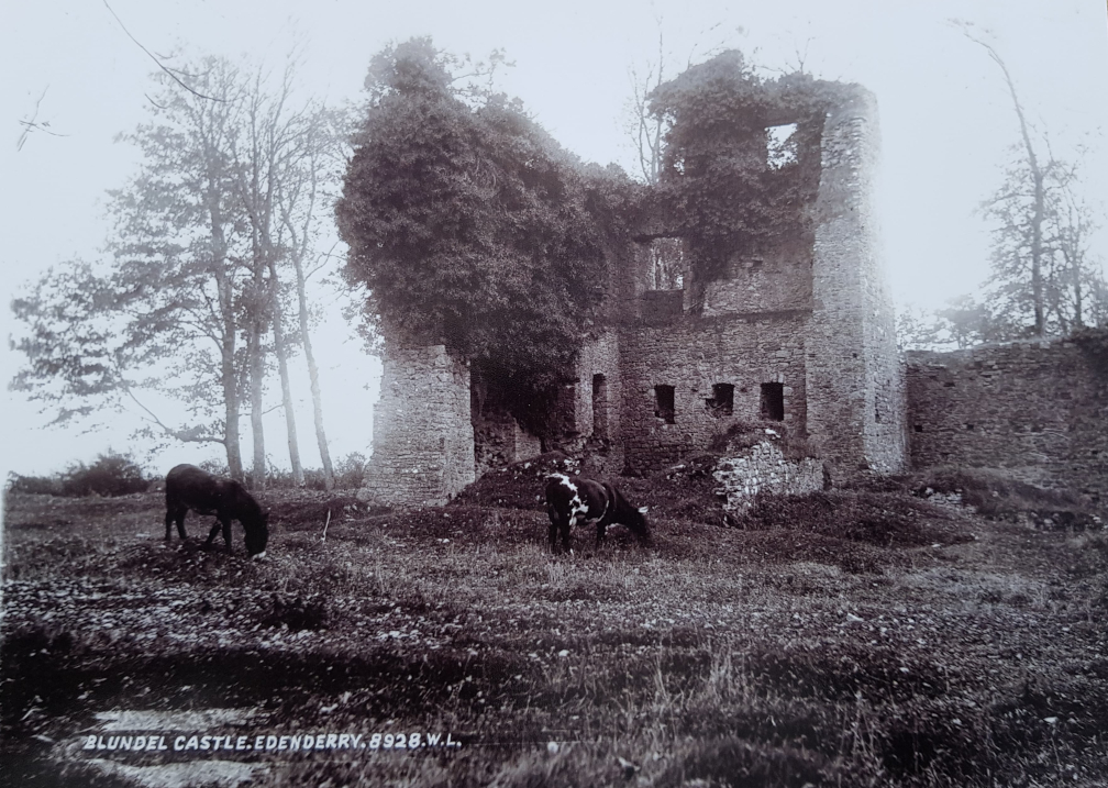
This building does not appear on the Lawrence Collection photograph of the castle that appears in the publication Offaly History & Society. The junction of the bawn wall onto the south wall of the castle is unusual as it does not run directly off the south wall of the castle. There is a noticeable step outwards of the possible bawn wall which is unusual and forms an angle between this wall and the castle suggesting that the wall was added at a later date to the main rectangular block.
References
- Shine, D. 2021. Licensed Monitoring Report, Blundell Castle, Edenderry, Co. Offaly (License no. 20E0726). Unpublished archaeological report.