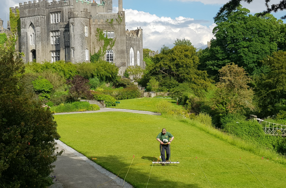
Black Castle
Birr Castle, as it exists today, is largely an eighteenth to nineteenth century structure.
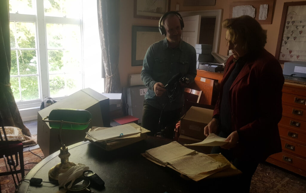
The Project
Birr Castle demesne (specifically the area recorded as “Oxmantown Demesne”) is located in the heart of the town of Birr. The property has been the historic Seat of the Parsons family, Earls of Rosse, since the 1620s. The extensive grounds surrounding the castle are set out in manicured parkland and gardens, standing to the east of, and above the Camcor River, which flows through the town.
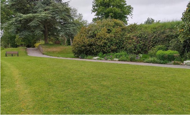
To the northwest front of the Castle, a terraced lawn has been set out within what has the appearance of a star-shaped fort. This was in fact constructed in the mid-nineteenth-century to the design of an antecedent of the present Earl, who recalled a similar structure that he encountered in Europe during the course of the Napoleonic Wars.
However, there has been a castle on the site since at least the early 1200s. In 2021 the IHS sought to investigate, through geophysical prospection, if any remains of the medieval Birr castle (the “Black Castle”) might survive at a location recorded on historic mapping. To the south of the above mentioned “fort”, between it and the river, is a terrace, on which may be located the site of the ‘Black Castle’, although what may have constituted the original, or earlier, ground level is not at all apparent, owing to the extensive earth-working that must have occurred during the nineteenth-century landscaping of the gardens.
Historical and Archaeological Background
Birr Castle, as it exists today, is largely an eighteenth- to nineteenth-century structure designed by the architect John Johnson. The ‘castle’ was built around the core of an earlier structure or gatehouse. The site of the current Birr Castle is located only 20-30m from the thirteenth- or fourteenth-century O’Carroll’s ‘Black Castle’, as well as, potentially, the twelfth-century Anglo-Norman motte-castle. Historically, the Black Castle is mentioned in Laurence Parsons 1620s accounts and is illustrated as a rectangular building located on a map dating to 1691.
This map (held in the archives of Worcester College, with a copy in the Birr Castle archives) was commissioned after the battle of the Boyne, as part of a broader initiative to record British defences. The map shows the Black Castle on the edge of a steep cliff edge overlooking the Camcor River as two of six buildings, which form a defensive enclosure; the two buildings are clearly identified as ‘old castles’. The second and largest of these structures is consistent in size with a hall house, and is set within a small bawn, with a square turret at its southeast corner. A square building, to the west of the defensive enclosure, is consistent in size with a medieval tower house and it is likely that one or both structures represent the original Black Castle.
The site around the Black Castle was extensively remodelled in the 17th- and (most notably) the 18th- and early 19th-centuries when the current castle was constructed and orientated to face the demesne rather than the town. The Black Castle is recorded as having been demolished in c. 1778 during this period of remodelling, with accounts from the 2nd Earl of Rosse (end of 18th-century) recalling the Black Castle being pulled down when he was a child; previous to that his father used the castle ‘of a summers evening to drink a glass of wine’. However, the motte and some of the earlier buildings seem may have remained on site past this period.
The ‘site of’ the Black Castle is shown on both the First Edition Map (1838) and the 25” map (1909); the latter of these is a little more specific in pin-pointing a location for the Black Castle within the 19th-century star-shaped fort. However, it is unlikely this landscaping would have removed the medieval buildings in their totality, based on their scale indicated by the 1691 map. Cooke, in the later 19th century, also recorded the site of the Black Castle as c. 70ft from Birr Castle.
Excitingly, during a summer drought in 2018, parch marks, which were interpreted as being associated with the Black Castle, and reported in the Irish Times newspaper, were seen at the supposed Black Castle’s location. Other ‘cropmarks’, such as paths to the telescope, and a possible second moat, within the 19th century star shaped fort, were also visible. The recording of these crop- marks, cartographic records of the site, and, not least, the information held in the Birr Castle Archives and by the Rosse family themselves contributes to a precise identification of the original Black Castle site.
Findings
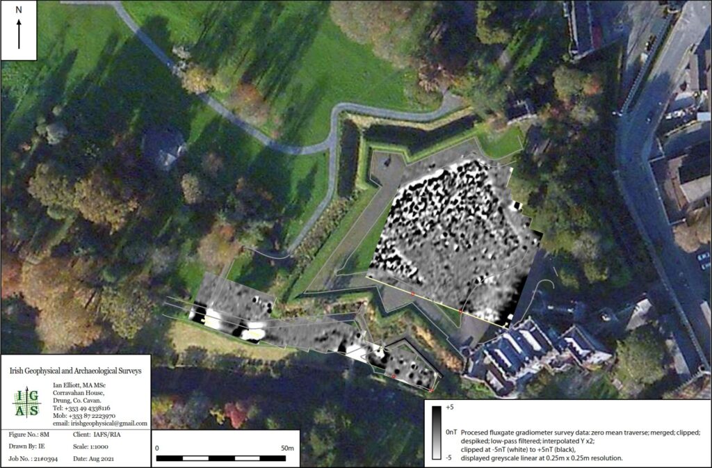
The geophysical survey, undertaken by Ian Elliott of Irish Archaeological and Geophysical Surveys, indicated that the site contains a wealth of anomalies, mostly, in probability, related to past episodes of garden development and landscaping. However, there is evidence for structural remains on the terrace area to the west of the fort which may well be the buried remains of the 14th-century Black Castle, with possible fragmentary remnants of a second building nearby. Within the fort, there is evidence in the gradiometer data of extensive filling, but a possible bawn enclosure emerges within the earth resistance data, although this could also be an earlier, lost phase of garden development.
Reference
Elliott, I. 2021. Archaeogeophysical Survey at Townparks Townland, Birr, Co. Offaly (consent no. 21R0157). Unpublished report. (available on request – contact us)
YouTube